La Forêt de Janas
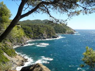
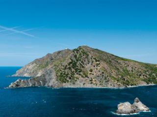
The Janas forest, located in the massif of Cap Sicié, shared between the municipalities of La Seyne sur Mer and Six-Fours-les-Plages, offers significant heritage, landscape, and ecological richness.
The massif covers an approximate area of 5000 hectares, classified as a Natura 2000 site. Its main vegetation includes Aleppo pine, umbrella pine, evergreen oak, eucalyptus, brambles, and wild asparagus bushes.
The Cap Sicié massif is one of the remnants of a vast continent that disappeared underwater during the tertiary era (between -70 and 1 million years ago).
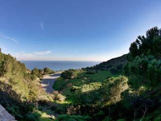
Accessible through multiple entrances, the site is open to the public with trails and paths suitable for walking, cycling, or horseback riding.
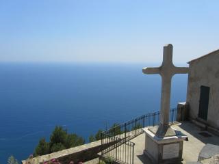
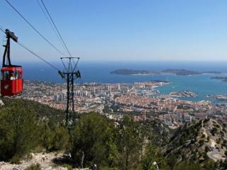
The summit of Cap Sicié is marked by the Chapel of Notre Dame du Mai at 352 meters, offering a unique panorama from the Maures massif to the Calanques of Marseille and the island of Riou.
You can also admire:
- The harbor and islands of Hyeres
- The Giens Peninsula
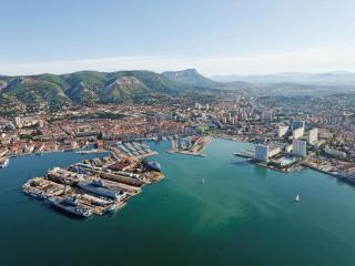
- The harbor of Toulon
- Mount Faron
- Mount Caume
- Le Gros Cerveau
Notre Dame du Mai, also known as the Good Mother or Notre Dame de la Garde, was in the past an important and popular pilgrimage site, as evidenced by the numerous niches along the path leading to the sanctuary.
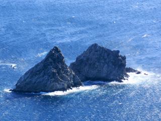
During walks, you can catch sight of the Deux Frères (Two Brothers), two rocks emerging at the tip of Cap Sicié and also visible from the beaches of Les Sablettes. It is a place that attracts many boaters and diving clubs aiming to visit a wreck located nearby.
By taking the path of the Batterie de Peyras, you may encounter the military battery built during the 1870 war. It served during World War II, controlled by the Germans to eliminate American planes during the Provence landings.
For those less inclined towards physical activity, it is possible to drive closer to various trails. Parking lots and picnic areas are arranged.
Vehicular access is closed from June 15 to September 15 to secure and limit the risk of fire under the control of Civil Security, which filters visitors during the strong winds of summer.
Link to consult the wildfire risk alert map:
http://www.var.gouv.fr/acces-aux-massifs-forestiers-du-var-a2898.html


